
Utah's legal bid to kill Bears Ears, GSENM monuments lives on; BLM looks to open Utah land to motorheads; and Hoback water woes ...


🌵 Public Lands 🌲
While the Trump administration 2.0 has so far refrained from trying to shrink or eliminate national monuments, its non-executive-branch proxies just keep on trying. This week the 10th Circuit federal appeals court issued a decision keeping alive Utah’s lawsuit challenging Joe Biden’s 2021 re-establishment of Grand Staircase-Escalante and Bears Ears national monuments following Trump 1.0’s shrinkage of the same.
The state and Garfield and Kane counties filed one lawsuit in 2022, with the Blue Ribbon Coalition and other parties filing their own suit. In 2023, a federal court dismissed both lawsuits; that ruling was appealed.
This week’s decision confirmed the dismissal of the Blue Ribbon suit. But it also determined that presidential national monument designations under the Antiquities Act are subject to federal judicial review, and sent Utah’s case back to the district court.
***
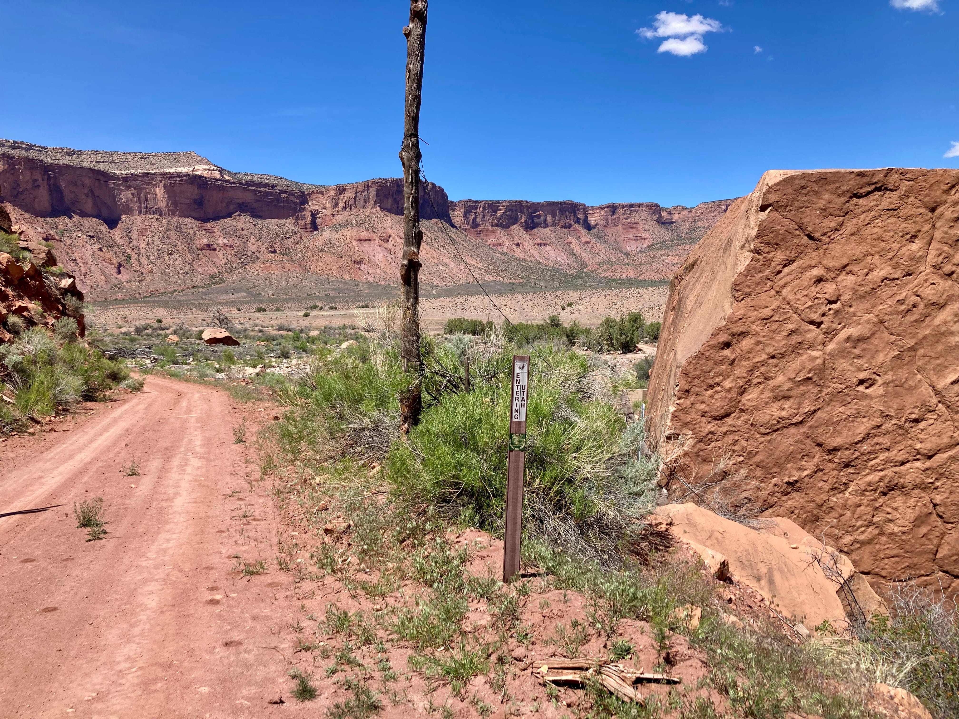
The Bureau of Land Management is moving forward with three travel management plans in Utah that will determine which roads, trails, and areas of the respective field offices’ jurisdiction are open to motorized vehicles. Given that the stated aim is to bring the plans in line with Trump’s recent executive order rescinding restrictions on motorized vehicles on public lands, we can assume that the idea here is to expand motorized access to some remote areas. The plans include:
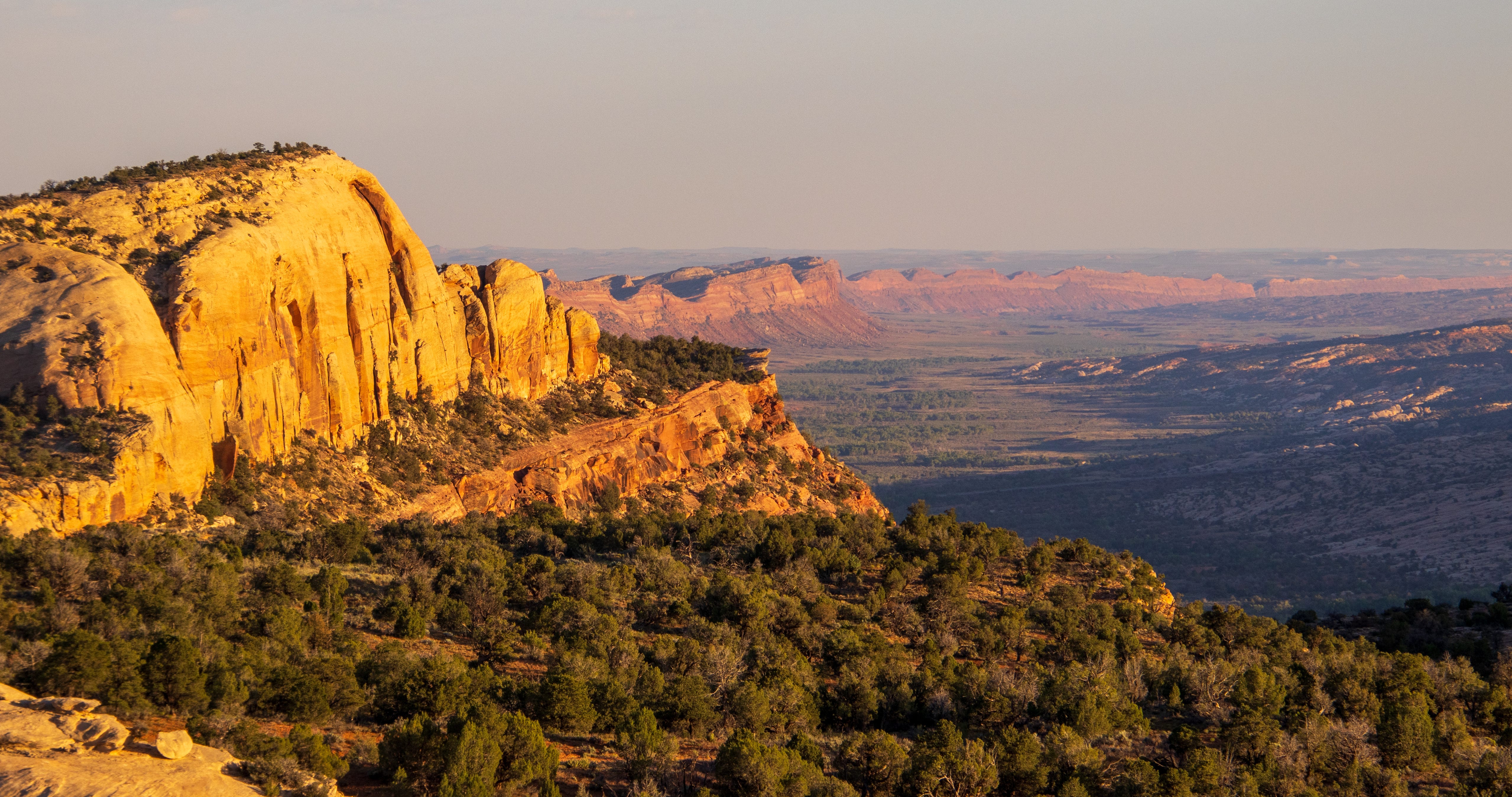
The Moab Field Office has released preliminary alternatives for the Dolores River Travel Management Plan on about 127,000 acres in Grand County, Utah, east of Moab and abutting the Colorado border. This would include roads along the Utah section of the Lower Dolores River, and on mesas and in canyons on either side of it. Maps of the alternatives can be found here. This one is not yet open to public comment.
The Kanab Field Office has released a draft environmental assessment for its Trail Canyon Travel Management Plan on nearly 330,000 acres in Kane County. It is open to public input.
And the Vernal Field Office has also released a draft review for the Dinosaur North Travel Management Plan. The public comment period is open.
***
I typically stay away from electoral politics, especially the horse-race part of it and polls and such. But sometimes a particular contest or candidate can provide a lens on bigger trends or phenomena, and so are worth looking into.
The latest race that has caught my interest is the one to replace Sen. Cynthia Lummis, the Wyoming Republican who is retiring at the end of this term. Since it’s Wyoming in 2026, it’s safe to assume the winner will be a Republican (though this wasn’t always the case), meaning the primary is the contest that matters. The front-runner, I suppose, is Rep. Harriet Hageman, the Trump sycophant and MAGA extremist who unseated Liz Cheney back in 2022 after Cheney failed to show adequate fealty to Trump.
But it’s one of her challengers that I’m interested in: Sam Mead. Mead is a fifth-generation Wyoming rancher, comes from a long line of Republican Wyoming politicians, and is the nephew of former governor Matt Mead. Mead is young (36), charismatic, has strong conservative credentials on fiscal issues and gun-rights, and a background in engineering and business, having run a whiskey distillery in Kirby. But what really distinguishes him from his opponents is his willingness to speak out against some of Trump’s policies, and his priority on protecting public lands and keeping them in the public’s hands.
Mead, in other words, appears to be an old-school, pre-MAGA Western Republican. He reminds me a bit of Wyoming Gov. Mark Gordon, back before extreme polarization pulled him more and more rightward and into MAGA land. Wyoming’s primary is on Aug. 18.

Meanwhile, Utah just held its primaries, with some surprising results. Utah State Senate President Stuart Adams, a Republican, was defeated by challenger Stephanie Hollist. Adams was a strong supporter of the controversial proposed Stratos Project data center complex on the north shore of the Great Salt Lake. Also, incumbent Rep. Celeste Maloy trounced challenger Phil Lyman in the GOP primary for the 3rd Congressional District, with about 70% of the vote.
While Maloy was endorsed by Trump, and has plenty of extreme views, Lyman is the more MAGA of the two. And Trump pardoned Lyman after his conviction for leading an OHV rally down Recapture Canyon in the southeastern part of the state. Political consultant Taylor Morgan told the Utah News Dispatch that Lyman’s resounding defeat showed that his “very angry, very conspiracy-based, populist, toxic form of Republicanism (is) frankly wearing very thin, especially here in Utah.” Let’s hope he’s right!
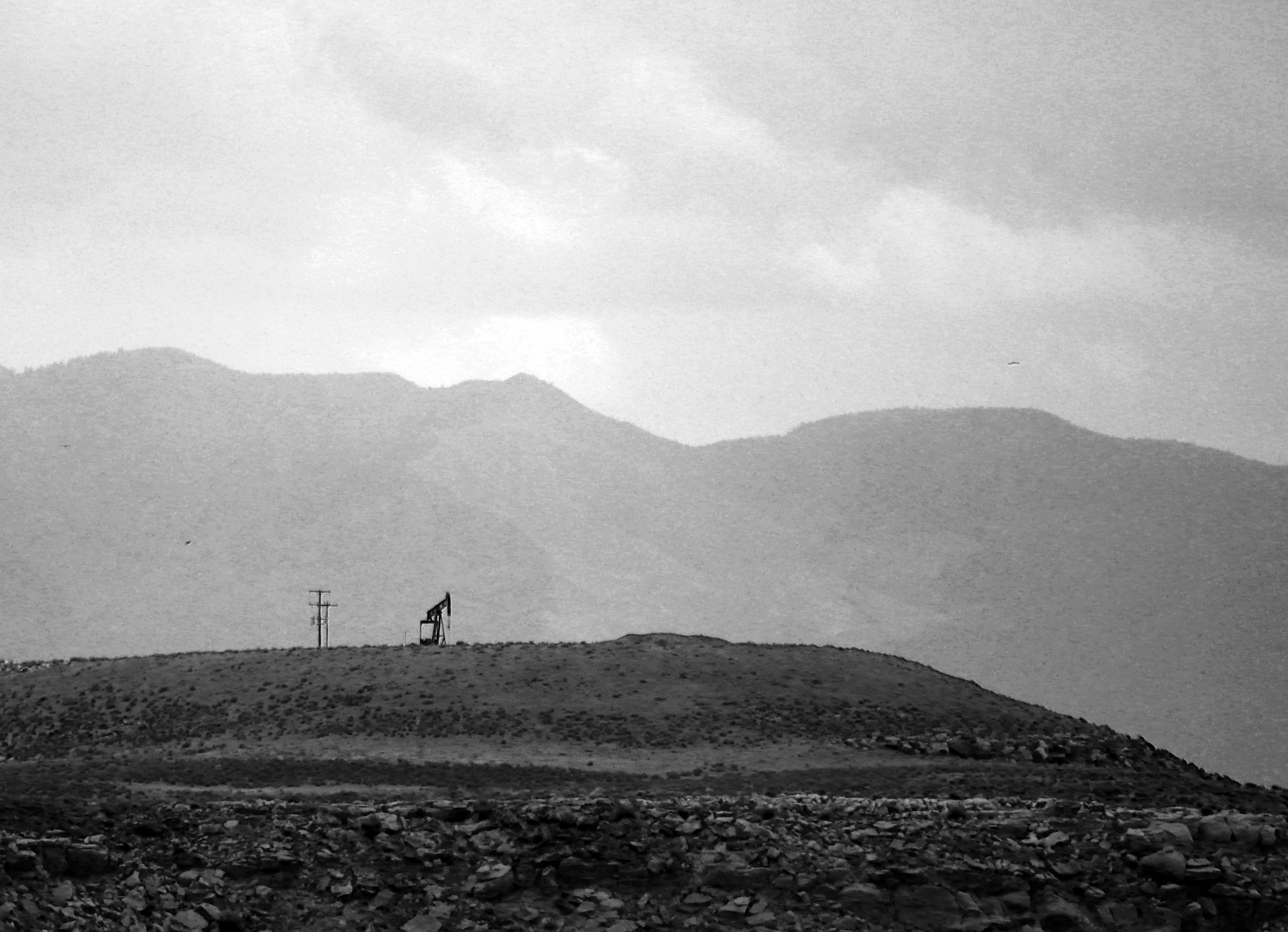
I wrote Tuesday about how the Trump administration is eviscerating Biden-era oil and gas rules aimed at reducing methane emissions and ensuring companies clean up their own messes rather than foisting them onto the taxpayers. Now the changes are open for public comment.
Comment on the waste prevention rule changes here.
Comment on the oil and gas leasing changes here.
Here are a few of the changes Trump and co. are proposing:
Bring back pre-Biden reclamation bond rates, which amount to just over $2,000 per well, which is insane, since the cost to reclaim and plug a single well easily can exceed $100,000. These numbers incentivized petroleum companies to walk away, forsake the bond, and abandon the well, leaving the tab for the taxpayers.
Reduce the current $10 minimum per-acre bid for leasing public land to $2, restore noncompetitive leasing, and slash royalties and filing fees for oil and gas companies.
Implement a new fee for protesting leases. And they plan to cut the 90-day public input period to just 10 days. In other words, they’re trying to cut out the public from decisions regarding public lands.
Gut the waste prevention rule (they wanted to roll it back altogether, but chose to revise it instead because it wasn’t clear which rule would replace it) by removing limits on royalty-free flaring and killing requirements that companies develop leak detection and repair plans.
Trump’s changes to the waste prevention rule will turn back the regulatory clock to the days when oil and gas operations on federal and tribal land vented and flared an average of 44.2 billion cubic feet annually of methane, which is usually accompanied by nasty volatile organic compounds and other dangerous compounds. That’s as bad for the climate as burning around 9 million tons of coal. But it also amounts to lighting money — your money — on fire and throwing it away. That vented methane is basically the same stuff you pay for to run your furnace, or to generate much of the electricity running through the grid. And since operators don’t pay royalties on gas they throw away, that cost American taxpayers some $166 million in lost revenue over a decade.
The result of all of this (and more) will be to rob taxpayers and sacrifice public lands and the climate to subsidize the same energy corporations that are raking in obscene profits thanks to Trump’s disastrous war on Iran. The administration argues that their proposed changes will save petroleum corporations operating on federal lands $17 million annually in compliance costs.
That sounds like a lot of money, until you realize that high oil prices have driven corporation’s profits to absurd highs. During the first quarter of 2026 alone, ExxonMobil raked in $8.8 billion in underlying, adjusted profits. Somehow, I don’t think several million in compliance costs is going to deter them from drilling.
🐟 Colorado River Chronicles 💧
Many of the West’s streams have entered their summer low-flow phase, a period that falls between the end of snowmelt and the beginning of the monsoon, while irrigation diversions are in full-swing. One of the most dramatic cases of this is, perhaps, the Colorado River itself as it flows through Grand Junction. This morning, the river was running at just 366 cubic feet per second near Palisade, which as reader Dave Grossman pointed out is low enough to allow someone to walk across the sprawling river bed.
Some other notably low flows:
Animas River in Farmington, NM: 104 cfs.
Dolores River at Bedrock, CO: .76 cfs (effectively dry)
White River near Watson, UT: 76.4 cfs
Green River above Flaming Gorge: 551 cfs
Green River below Flaming Gorge: 1,590 cfs
San Juan River near Caracas, CO (above Navajo Reservoir): 85 cfs
Colorado River near Hite, UT: 4,300 cfs
This has reduced daily average inflows into Lake Powell to about 4,800 cfs and dropping. It would be much lower than that, except that flows are being bolstered by upstream reservoir releases. Either way, inflows are far less than Glen Canyon Dam releases, which are averaging about 8,500 cfs daily (approx. 6,500 cfs at night and 10,600 cfs during the day). This disparity, exacerbated by reservoir evaporation, is lowering Lake Powell’s surface level, which currently sits at about 3,526.75 feet. Without substantial upstream rain, it will likely drop to 3,520 feet by early August.
📖 Reading (and watching) Room 🧐
Matt Jenkins wrote an excellent overview for the Water Education Foundation of the potential “Grand Bargain” on the Colorado River, which would require both the Upper and Lower basins to give up some of their Colorado River Compact claims not only to keep the system from collapsing, but also to avoid litigation.
The piece lays out the fact that the Compact is not only outdated, but also internally conflicted, in that it apportions the Upper Basin 7.5 million acre-feet of water per year, while also obligating it to allow the same amount of water to flow to the Lower Basin annually. That’s just not possible these days, given that there’s far less than 15 MAF in the river.
⛏️ Mining Monitor ⛏️
Southeastern Utah is known mostly as a mining hotspot for uranium, copper, with lithium emerging more recently. But it also hosts a potash extraction industry, and at least one company is looking to expand the potash footprint. Sage Potash says it has secured permits from Utah and San Juan County to begin drilling at is Sage Plain Potash project.
While this is only exploratory drilling, it’s notable in that it’s not occurring in the Lisbon Valley or near existing potash sites near Moab. Rather it is on the Great Sage Plain southeast of Monticello, in the archaeologically rich zone north of Hovenweep National Monument.
***
Yet another reason to worry about spewing more carbon dioxide into the atmosphere via fossil fuel burning: It can exacerbate acid mine drainage, the phenomenon that leads to toxic heavy metal loading in streams and other waterways. That’s the conclusion of a peer-reviewed study published in Communications Earth & Environment this April.
Acid mine drainage occurs when a mine excavation exposes once-buried sulfide-bearing rocks such as iron pyrite (FeS2) to oxygen and water. The hydrogen, sulfide, and oxygen come together to form sulfuric acid (H2SO4). Thus, the water becomes acidic, or its pH drops. The acidity dissolves heavy metals and the water picks them up. As the pH level of the water drops below 4.8, acidophilic bacteria begin feeding off the metals, releasing more acid into the solution and causing metal loading to occur up to 1 million times faster than in water with higher pH. Metal loading is bad for fish and other aquatic life.
The study found that elevated atmospheric carbon dioxide levels enhance the acidophilic bacterial activity, which accelerates iron and sulfur oxidation, acid formation, and metal loading. Zinc and cadmium, both of which are harmful to aquatic life, are more sensitive than other metals to rising carbon dioxide levels. Zinc loading is especially problematic in the Upper Animas watershed in southwestern Colorado.
***
Okay, I really don’t care that Anfield bought its first underground haul truck for its Velvet-Wood uranium mine in the Lisbon Valley of southeastern Utah. But I found this press release interesting for another tidbit: The haul truck was built by Young’s Machine Company, located in Monticello, Utah. I never knew Monticello had this sort of manufacturing industry. I gotta say, it’s kind of cool.
🚣🏽 Water Watch 🌊
Water Quality in the Greater Yellowstone
A Guest Post by Robert Frodeman
Four million people visit Teton County, Wyoming, each year. They come to hike, float, and ski, snap pictures under the elk antler arches, and to partake in the myths of the American West. As the sign at the top of Teton Pass says, “Welcome Stranger. Yonder is Jackson Hole, the Last of the Old West.” Visitors expect to find a pristine environment. They don’t expect water quality problems reminiscent of a developing nation.
Teton County has some of the best drinking water in the country. Or most of Teton County does: Hoback, in the southern part of the County, has a nitrate problem. Nitrate is a health risk — most acutely to infants under six months, in whom nitrate is converted to nitrite by gut bacteria, interfering with oxygen transport in the blood and causing methemoglobinemia (blue baby syndrome). Many of the water systems in Hoback are on their last legs: two weeks ago, I had no running water and then a boil order at my home.
Jackson is the town, Jackson Hole is the valley that runs north of town in front of the Tetons. (‘Hole’ was what mountain men called a valley.) If you drill 20,000 feet into the valley floor you will hit the same sandstone layer that sits on top of the Tetons. This implies that the Tetons have risen some 25,000 feet over the last 10 million years.
Of course, mountains come down as they go up: the Tetons have been shedding sediment across all that time, piling up thousands of feet of gravel on the valley floor. Still more gravel was brought by the glaciers that flowed down from the Yellowstone Plateau. The Snake River meanders in front of the Tetons, but much of the river passes unseen below the surface, forming what is known as the Snake River Aquifer.
In effect, Jackson and Jackson Hole sit on top of a huge bathtub filled with gravel and water. This provides an abundant source of high-quality water for the town. But the bathtub only extends so far. The southern rim of the tub comes up at Munger Mountain five miles south of town. This is where the Yellowstone glacier stopped, and where the Snake River Canyon begins, which runs for 30 miles to Alpine and the Mormon communities of Star Valley.
Hoback lies four miles south of Munger Mountain — beyond the reach of the aquifer. Local residents must drill for their water. Local wells reach 200 feet down to the Bear River Formation. The water isn’t ideal – it’s brackish and can have a distinct sulfur smell (as do some of the local hot springs). The groundwater is also contaminated from horse farms and pig farms and (mainly) septic tanks and leach fields. Septic tanks can leak, and there is not enough biotic activity at this elevation and latitude for leach fields to function well. The result is nitrate levels in our drinking water which sometimes exceed EPA daily maximums.
Hoback is distinctive not only because of its geology. The billionaires live elsewhere in the County. There are two trailer parks nearby. Historically, local politicians have directed their attention to the Town of Jackson, Wilson, and the ski resort of Teton Village. But this has changed in recent years. Carlin Gerard of the Teton Conservation District formed a Hoback Stakeholders Group in 2019 to highlight drinking water problems. Covid disrupted that effort, but then a local non-profit called Protect Our Water Jackson Hole brought its energy and resources to southern Teton County.
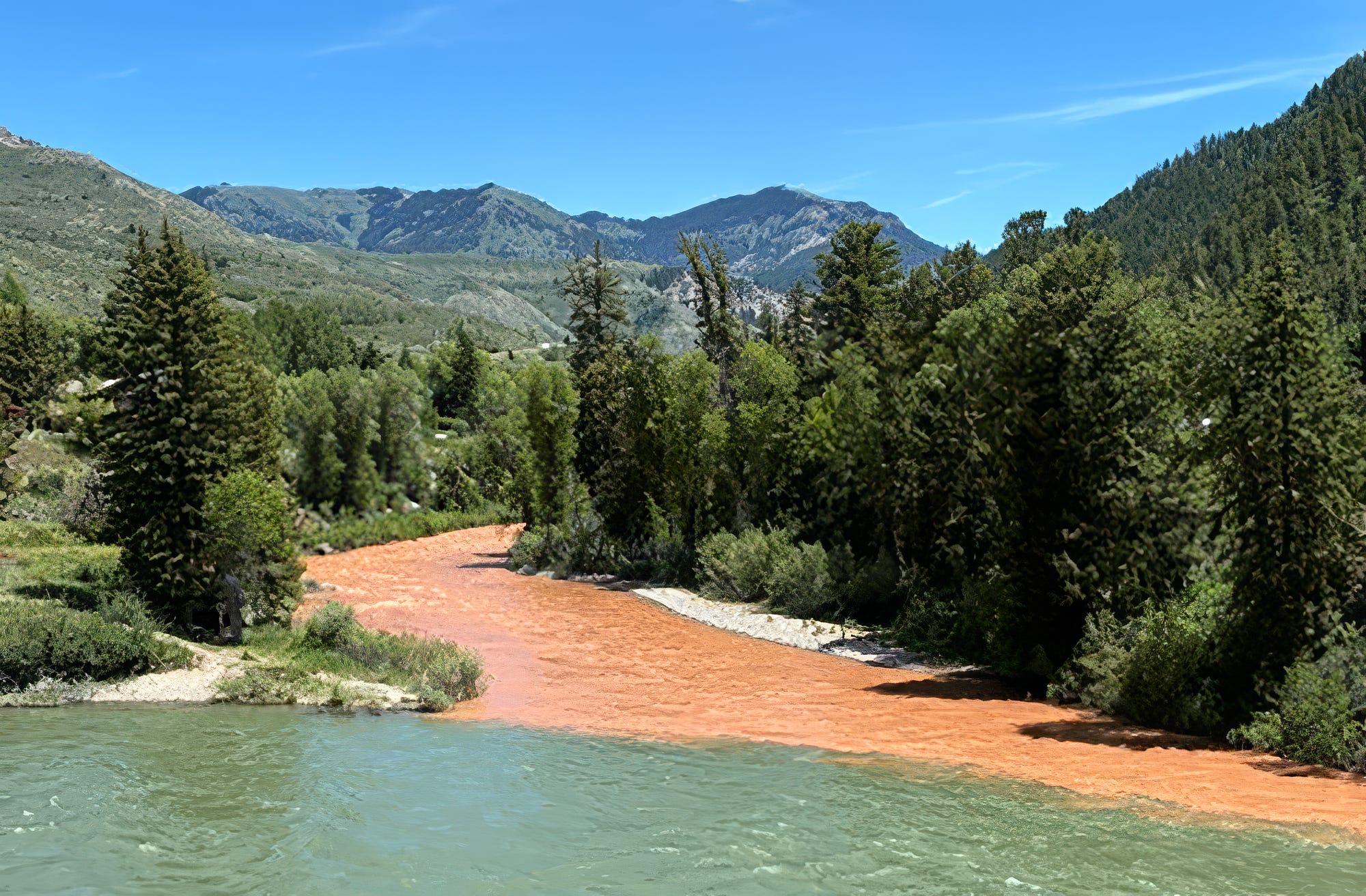
In 2023 Hoback residents formed a water and sewer district. The district has now raised $7 million from the County and the State to build a municipal drinking water system. Water will be drawn from the Snake River just above the confluence with the Hoback. Construction should begin this fall and be done in a year or two depending on the weather.
At first it will only serve 125 residents: the district was made small out of fear of opposition. Teton County is solid blue, but past attempts had failed because of Hoback’s history of Red State, don’t-tread-on-me politics. In any case, it turned out that the demographic transition had already occurred: when the election was held the vote was 36-0 in favor. And there are now plans to annex a new affordable housing development that Teton County hopes will help address the local housing shortage.
Of course, the new system will only isolate residents from the nitrate problem. The environment will remain polluted, and people outside the district will still be on wells. The district has begun to price out a wastewater system, which is liable to be quite expensive. But you’d hope for nothing less for the Greater Yellowstone Ecosystem – and officials would hate to see an article in the New York Times about Teton County’s leaky septic systems.
 | A guest post by
|