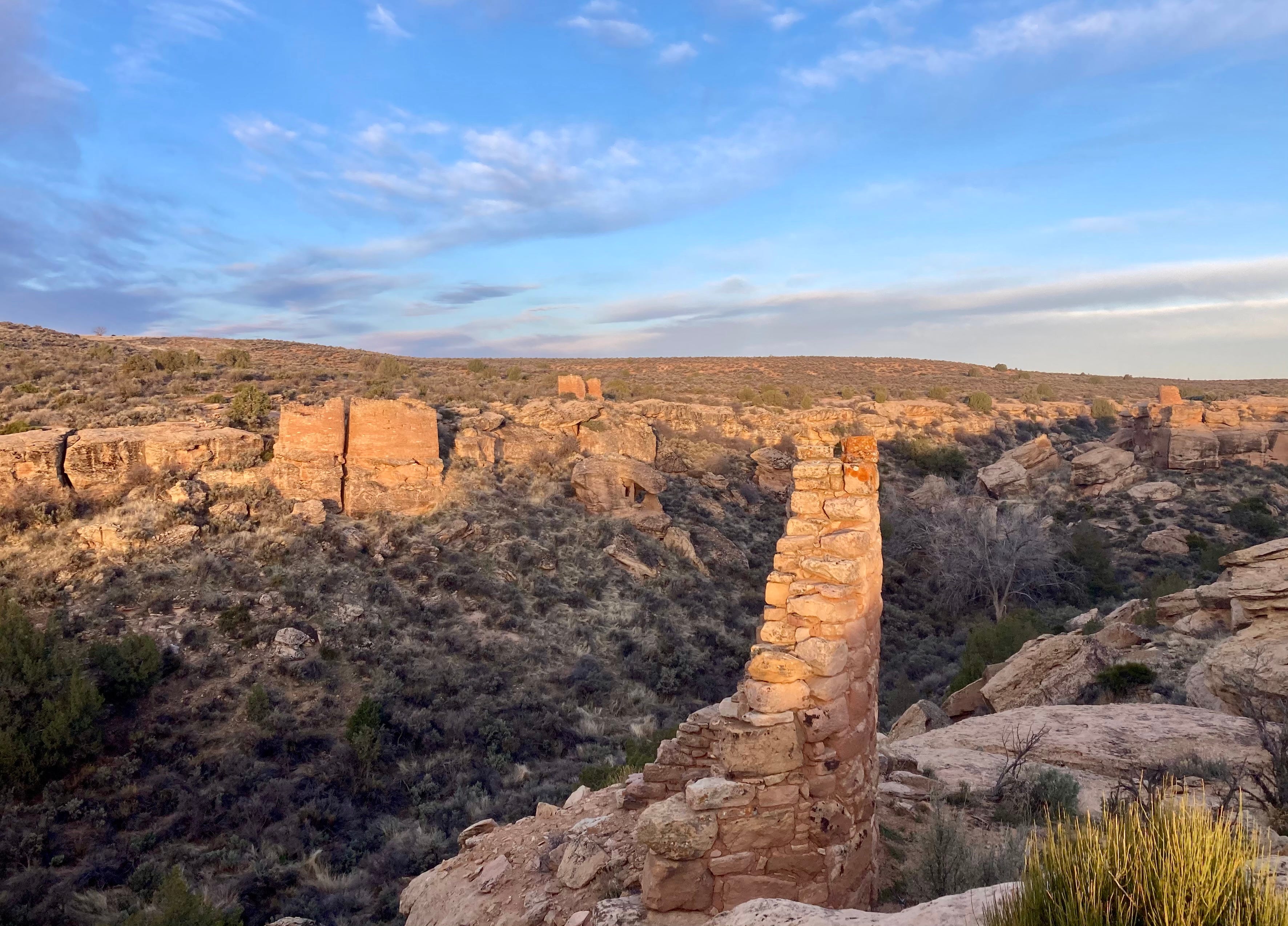
Over the last few days, the Silver Bullet and I followed an erratic course across the Colorado Plateau, beginning on the banks of the Animas River and ending up along the North Fork of the Gunnison, dipping into a half-dozen watersheds — big and small — on the way. When charted on a map, my trip looks insignificant — a little jaunt through a relatively tiny corner of the world.
And yet the landscape I traveled through felt huge. It was as if I were moving from world to world and zipping across wrinkles in geologic time. This is my homeland, the region where I was born and raised. But I never cease to be stunned by its myriad personalities — in its landscapes, geology, economies, and, especially in the spring, its varying climatic conditions.
I was sand-blasted by ripping winds atop Comb Ridge and basked in calm afternoon sunlight as I dined with the tourists at Milt’s in Moab (I have thoughts about that town, coming later this week); I slogged through slush among the old uranium mines in Lisbon Valley and jogged on a frosty morning through the old Athena missile launch site outside Green River; I sailed alongside freshly plowed fields awaiting seeds up on the Great Sage Plain and watched fast-moving snow flurries engulf and reveal the Abajo Mountains. And I was baffled as ever by the sudden geologic change at Gateway, where Wingate sandstone abruptly gives way to granite cliffs and the enigmatic Unaweep Canyon.
I wasn’t going anywhere in particular, nor was there a defined timeline, meaning it took seven hours to get from Hovenweep to Green River. I followed the least-traveled routes that my Silver Bullet could navigate, going through Ucolo and Summit Point, La Sal and Paradox, and down the riverside route from Bedrock to Uravan. These periods of automotive solitude made the journey from Moab to Green River all the more jarring — bumper to bumper traffic cruising along at 70 mph through a construction zone.
I found solace on the bank of the Green River, murky and swollen with rainfall and snowmelt, the bellow of the freight train in the distance. And I pondered this landscape which contains multitudes.
I wasn't born there, nor was I raised there, but I've spent a whole lot of time there and those places you photographed are pretty familiar. Its a magical place and I personally feel that Hovenweep is the heart of it. Or maybe the Kaiparowits Plateau. Hope the place can hold out against the flood of people. At least we will have photographs like yours to remind us of what the region once looked like before the developers arrived in numbers.
Thanks Jonathan; Great photos. You and I have experienced lifetimes at different corners of the Plateau, you in the south east, me towards the NW, Capitol Reef country. I'm here now, looking out the window at Thousand Lake Mt., over the shoulders of soaring sandstone cliff faces. Damn lucky, if I do say so.