Our River of Sorrow: Part II
On the perils of irrigation diversions and Old Snaggle Tooth
This is the second part in a three-part series on the Dolores River. Read Part I.
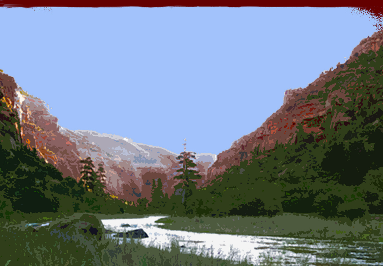
The Dolores, by my reckoning, is actually two distinct rivers. The first begins high among the San Miguel and Rico ranges, tumbles recklessly down past the town of Rico—where it picks up acid mine drainage chock full of dissolved metals—and continues at a mellower pace through pastures and meadows lined with aspen and spruce and fir, meets up with its Western fork, and continues southward. This Dolores River runs parallel to its sisters—the Mancos, the La Plata, the Animas—and like them appears to be destined to meet up with the San Juan River to the south.
But just below the town of Dolores, the river’s path abruptly veers in a northward direction in defiance of common sense and topography. Rather than take the 40-mile-long path of least resistance to the San Juan, the Dolores carves a convoluted route five times that length through high plateaus and uplifts and cuts paradoxically—i.e. perpendicularly—through a valley.


