
On energy binges, data centers, and old projects on new national monuments
Plus: Deadline tomorrow to weigh in on Chaco Canyon Cultural Protection Zone

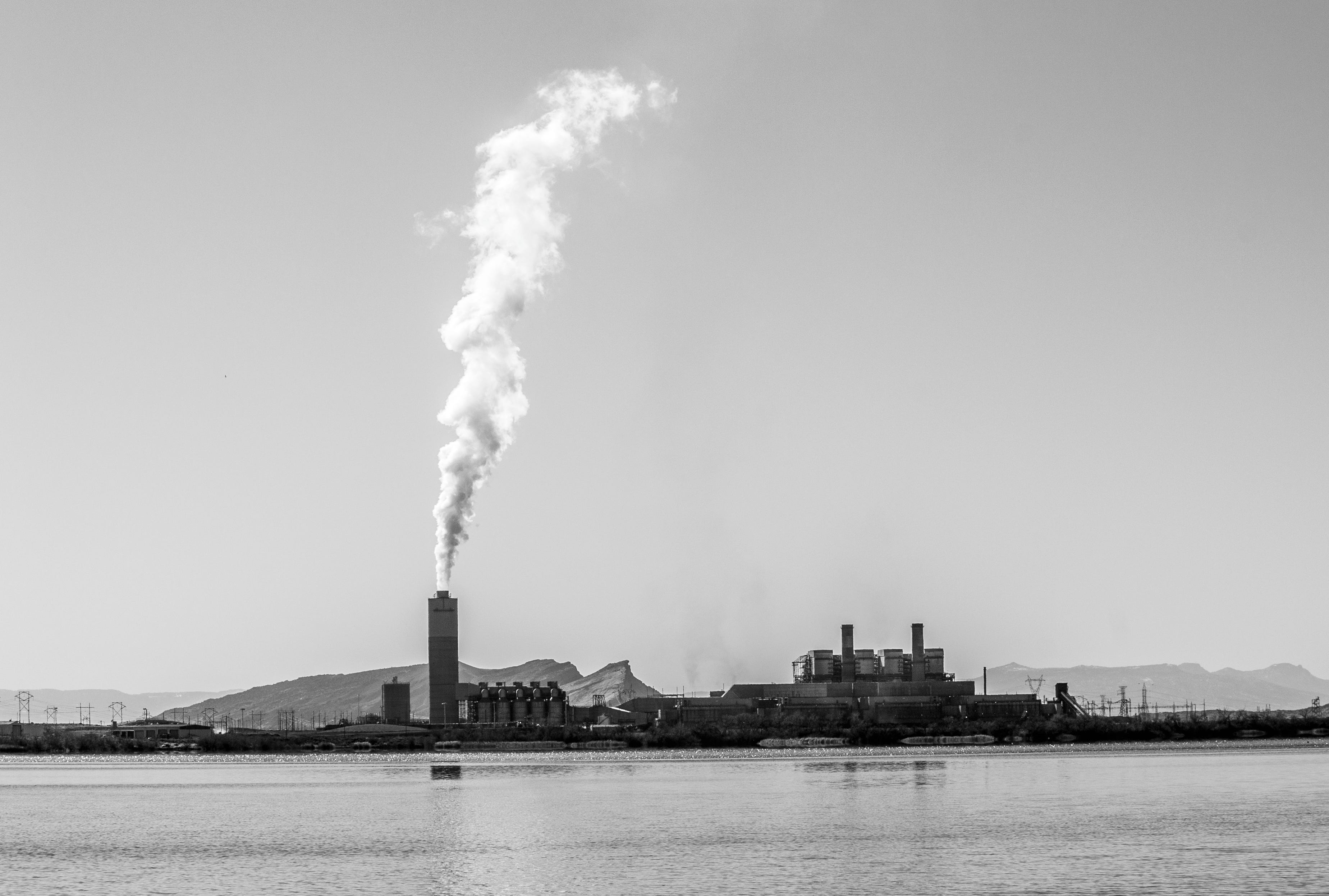
“We are, in short, on an energy binge, which, like all binges, can only end in disaster.”
This warning was delivered to a congressional committee in 1971 by a man named Harvey Mudd, then director of a Santa Fe-based environmental group. The “we” on the energy binge was the growing population of the Western U.S., and their rapidly accumulating number of electrified gadgets — from air conditioners to stoves to can openers and toothbrushes. The resulting disaster was just getting underway: The Big Buildup of giant coal power plants and their mines across the Colorado Plateau, along with the resulting pollution. “An irony of this situation is that as more electricity is generated by the burning of fossil fuels,” Mudd continued, “there is more and more justification for an artificial environment, because the air outside is not fit to breathe.”
Mudd’s quote, and others from the hearing on “Problems of Electrical Power Production in the Southwest,” have come to mind frequently in recent weeks, for seemingly unrelated reasons: data centers and Trump’s national monument shrinkage.
America is once again on an energy binge, this one primarily driven by the Big Data Center Buildup. These facilities, cropping up everywhere from farmland outside of Cheyenne to a patch of desert near Page to industrial parks in Reno, guzzle up so much electricity that Southwestern utilities are expecting their overall power demand to double or even triple within the next decade. And even if these projections are overblown, the utilities are still using them to justify building new natural gas plants or even nuclear reactors and to keep old coal plants running, saying that solar and wind and geothermal can’t come online fast enough to meet the new load. It’s a sort of echo of the fossil-fuel-burning disaster Mudd spoke about.
And one of the proposed coal plants Mudd was worried about was slated to be built on the Kaiparowits Plateau in what would become Grand Staircase-Escalante National Monument in 1996. Meanwhile, that 1970s energy binge was also spurring nuclear reactor development. And for a time in the 1980s, the Gibson Dome in southeastern Utah was one of the prime candidates for the nation’s spent reactor fuel depository, i.e. a radioactive waste dump. When President Barack Obama established Bears Ears National Monument in 2016, he included the Gibson Dome site.
When Trump issued a proclamation this month shrinking both national monuments, he redrew the boundaries to exclude both the Kaiparowits Power Project site and the Gibson Dome site, opening those places back up to coal and oil and gas leasing, new mining claims, and potentially other developments — maybe even waste repositories, power plants, or, yes, data centers.
I’m not saying that Gibson Dome and the Kaiparowits project are going to be revived in any shape or form: Both were soundly rejected back in their day for a variety of reasons. These projects make even less sense now.
But it’s worth remembering that in the past, parts of these national monuments were drilled and mined — extensively in some places — and they were even targeted for large projects that would have industrialized large swaths of land. When the monuments were originally established, the lines were drawn to include these sites to fend off future development. And when the current administration redrew the lines, they intentionally left out those same sites in the hope of luring future development. Whether that actually happens will depend on economics, on how the legal battle over the shrinkage goes, whether Congress finally acts and makes these national monuments permanent and where they draw the boundaries, and on what a future administration decides to do.
To help you imagine what things could have looked like, here are summaries of the aforementioned projects.
Kaiparowits Power Project
In the early 1970s, as part of what the late scholar Charles Wilkinson called the Big Buildup, utilities Southern California Edison, San Diego Gas & Electric, Arizona Public Service, and Salt River Project proposed the Kaiparowits Power Project to help meet growing power demand in the urban Southwest.
The project would have included the largest coal plant in the world at the time, and would have been centered at the Fourmile Bench site, about 36 miles north of the community of Big Water, Utah, (née Glen Canyon City) and Highway 89. The coal mines would have been to the southeast of Fourmile Bench.
The project would have included (per the 1975 draft environmental impact statement):
A 3,000-megawatt coal-fired generating station comprised of four 750-mw units, projected to burn about 9 million tons of coal per year and pull 41,400 acre-feet of water per year from the Colorado River via a pumping plant and pipeline out of Warm Creek Bay on Lake Powell. The four smokestacks would each be 600 feet high and emit an estimated 12 tons of particulates, 34 tons of sulfur dioxide, and 250 tons of nitrogen oxides — per day. Original designs called for a 6,000-mw plant, but they were eventually scaled back.
Four underground coal mines projected to produce about 12 million tons of coal annually. The complex would also include a coal preparation plant, waste disposal areas, and a seven-mile-long conveyor belt to move coal to the plant. The mine complex would use about 3,100 acre-feet of water annually, also from the Lake Powell pipeline.
Nearly 1,500 miles of new high-voltage transmission lines to move the power from the generating station to market, which would also include 1,900 miles of new permanent and temporary roads.
A limestone quarry — for the smokestack scrubber systems and to treat water — would built about 16 miles northwest of Bryce Canyon National Park.
A gravel mine for aggregate for roads and other construction purposes would be built in the upper Wahweap Creek stream bed near Fourmile Bench.
A brand new town with a projected peak population of up to 15,000 to house temporary and permanent employees and their families on 3,000 to 4,000 acres on the East Clark Bench on Hwy. 89.
A new, 67-mile highway which would stretch from the new company town (near Big Water/Glen Canyon City) to the power plant and on to the limestone quarry near Cannonville, where it would link up with Hwy 12. The highway would cut straight across the heart of what would become Grand Staircase-Escalante National Monument (though almost all of the acreage in question was removed by Trump).
The project was met, as one can imagine, with intense opposition from environmental groups and other residents of the Colorado Plateau. And over time, the projected cost kept ballooning upward, even as demand for electricity stopped growing so rapidly. In April 1976, the proponents cancelled the project, citing costs, lawsuits, bureaucracy, and environmental opposition.
The project’s demise, coming coincidentally at about the same time Congress passed the Federal Land Policy and Management Act and changed the government’s notion of public lands, added fuel to southern Utah’s budding Sagebrush Rebellion. Soon after the cancellation, hundreds of Kane County residents gathered in Kanab and burned an effigy of Robert Redford, who was probably the project’s most famous opponent.
Many years later, Andalex would lease land nearby and propose its own major coal mine, albeit without an accompanying power plant. When President Bill Clinton established Grand Staircase-Escalante in 1996, he included Andalex’s proposed project site in the national monument and the feds bought out the company’s leases, killing the already sketchy project for good. That land has now lost national monument status, meaning it could be leased out once again.
Gibson Dome Repository
In 1982, Congress passed the Nuclear Waste Policy Act, requiring the Department of Energy to come up with a national repository for spent nuclear reactor fuel and other waste. This launched a search for a permanent, national repository. The long list of possible sites, included Yucca Mountain in Nevada, the Hanford Site in Washington, a couple of sites in Texas, and the Paradox Basin in southeastern Utah.
The Paradox possibilities included the uranium mining hub of Lisbon Valley, Elk Ridge—the home of the Bears Ears buttes, the Salt Valley north of Moab, and a place called Gibson Dome near the junction of Lavender and Davis Canyons and the Six-Shooter Peaks. Of these, only Gibson Dome made the short list, and an effort to establish America’s nuclear waste dump on Canyonlands’ doorstep commenced.
Many Utahns, having lived through decades of nuclear fallout from upwind weapons testing and suffering from illness due to the uranium mining and milling that had occurred in their backyards, were appalled. The commissioners of San Juan County, especially a former uranium miner named Cal Black—sometimes called the Original Sagebrush Rebel—were delighted.
The construction of the facility would employ over 1,000 people, and the operation nearly as many. Black believed that with a national waste dump in place for spent reactor fuel, the nuclear power industry—and therefore San Juan County’s uranium mining industry—would be revived. In an open letter published in the San Juan Record in March 1982, the San Juan County commissioners wrote: “We support such a facility and are opposed to Canyonlands National Park or archaeological sites in the area used to preclude the repository.”
Black then went on to tell a Salt Lake Tribune reporter that tourists would enjoy visiting a nuclear waste dump, just as they reveled in seeing the gargantuan Bingham Canyon open-pit copper mine and visiting the Mormon Temple in heavily polluted Salt Lake City: “If pollution hurt tourism, then Temple Square in the heart of the state’s worst pollution, and Kennecott, one of the worst blights on the environment, wouldn’t be the state’s number one and number two tourist attractions.”
Even with that kind of marketing, Black wasn’t able to enlist much support from outside the county. Former uranium boomtown Moab had by then grasped on to the tourism and recreation economy, motorized and unmotorized alike, and many of its citizens were not too psyched about having a nuke dump on their doorstep and waste-laden trucks or trains rolling through the center of town. It wasn’t just about the radioactivity, either: the facility likely would require its own coal-fired power plant and rail line from Moab, and would use as much as 1.5 million gallons of water per day.
The Sierra Club, Earth First!, no-nuke activists, and national park advocates launched a campaign, Don’t Waste Utah, to rally the public to oppose the plan. Utah governor Scott Matheson, a Democrat, went from being skeptical to outright opposed; his Republican successor ended up in opposition, as well.
Black and his colleagues were enraged, and the county staked 2,000 mining claims in the repository study area out of spite. It didn’t work. Opposition to the dump continued to grow, and in 1986 the final environmental assessment was released, relegating the Canyonlands site to near the bottom of the list (effectively killing it), with Yucca Mountain in Nevada rising to the top. The Chernobyl disaster and then the end of the Cold War further diminished Utah’s uranium mining industry. Cal Black, known for wearing a uranium-clasped bolo tie, died of lung cancer in 1990.
Congress designated Yucca Mountain as the nation’s nuclear waste repository in 1987 and the feds spent billions of dollars developing it. But in 2009, bowing to pressure from Sen. Harry Reid, the powerful Nevada Democrat, the Obama administration axed funding for the project, putting it into dormancy. Now the administration is reportedly planning to move away from a single repository like Yucca Mountain, and instead recruit willing states to store the nation’s nuclear waste. Utah’s current leadership, I’d guess, is willing to do whatever it can to boost nuclear power and kiss up to the Trump administration. And Trump just took away national monument protections from that old Gibson Dome site.
🐓 Regulatory Capture Chronicles 🦊
REMINDER: You have until tomorrow (July 29) to comment on the Trump administration’s proposal to rescind ban on new oil and gas leases and mining claims within a 10-mile radius of Chaco Culture National Historical Park.
The area in question is often called a “buffer zone” for Chaco. I’m not a fan of the term, however, because I think it gives the wrong idea: A buffer zone merely would provide a buffer for the park, protecting its monumental structures from the noise, air, and light pollution emanating from a drill site. However, the more important intent is to protect the cultural sites within the zone itself, since they don’t have national park service status to shield them. Thus I like the term Chaco scholar Paul Reed of Archaeology Southwest uses: cultural protection zone.
There are thousands of cultural sites within this zone, many of which are part of and integral to the greater cultural landscape of the Chaco civilization. Without the cultural protection zone, the area just outside the park would be opened to oil and gas leasing and new mining claims and, potentially, hundreds of new oil and gas wells, each with new associated roads and other infrastructure. While there isn’t much oil in the zone, there is natural gas, and if prices were to increase it could spur more drilling.
The BLM is accepting public comment until July 29 on three alternatives: 1. keeping the ban in place; 2. shrinking the 10-mile buffer zone to just five miles (thereby leaving out significant sites such as Pierre’s Complex); 3. eliminating the ban altogether. To comment, click on this link and then click on the “Participate Now” button at the top of the page.
Last week, the Land Desk reported on the Trump administration’s plan to gut Section 106 of the National Historic Preservation Act, which serves to protect historic, cultural, and archaeological sites from development. A few days later, the Advisory Council on Historic Preservation voted to advance its plan to weaken the law, while taking input away from the public and other stakeholders, including tribal nations.
This does not mean the rule change is final: The law requires the ACHP to open the proposal to tribal consultation and public comment prior to a final vote. I’ll keep an eye on the situation and let readers know when the public comment period commences.
Meanwhile, a reminder of what the government is planning to do from the National Association of Tribal Historic Preservation Officers:
“NATHPO supports thoughtful efforts to improve the clarity, consistency, and effectiveness of the Section 106 process. The current proposal, however, would substantially restructure the regulations implementing the National Historic Preservation Act (NHPA), diminish the role of Indian Tribes and Tribal Historic Preservation Officers, narrow the places and effects considered, and concentrate greater authority within the federal agency responsible for advancing an undertaking … Taken together, these provisions would move Section 106 away from an informed and collaborative planning process and toward an agency-directed review followed by notification to interested parties.”
In other words, if a petroleum company wanted to build a new road, scrape and level an acre of earth, and drill an oil and gas well in the Greater Chaco landscape of the San Juan Basin on Bureau of Management Land, the BLM’s Farmington Field Office could issue a “memorandum of decision” — without consulting tribal nations, the relevant state, or the public — effectively allowing the project to skirt a Section 106 review.
I use Chaco as an example because that’s where the Trump administration is looking to rescind the drilling and mining ban in the 10-mile cultural resource protection zone around Chaco Culture National Historical Park. As things stand, Section 106 would offer at least some protection to the cultural sites there in the event of drilling. Yet if the changes go through, then it will make those sites — many of which have yet to be surveyed — even more vulnerable to development. The same is true for the lands taken out of the boundaries of Bears Ears and Grand Staircase-Escalante national monuments.
📸 Parting Shot 🎞️
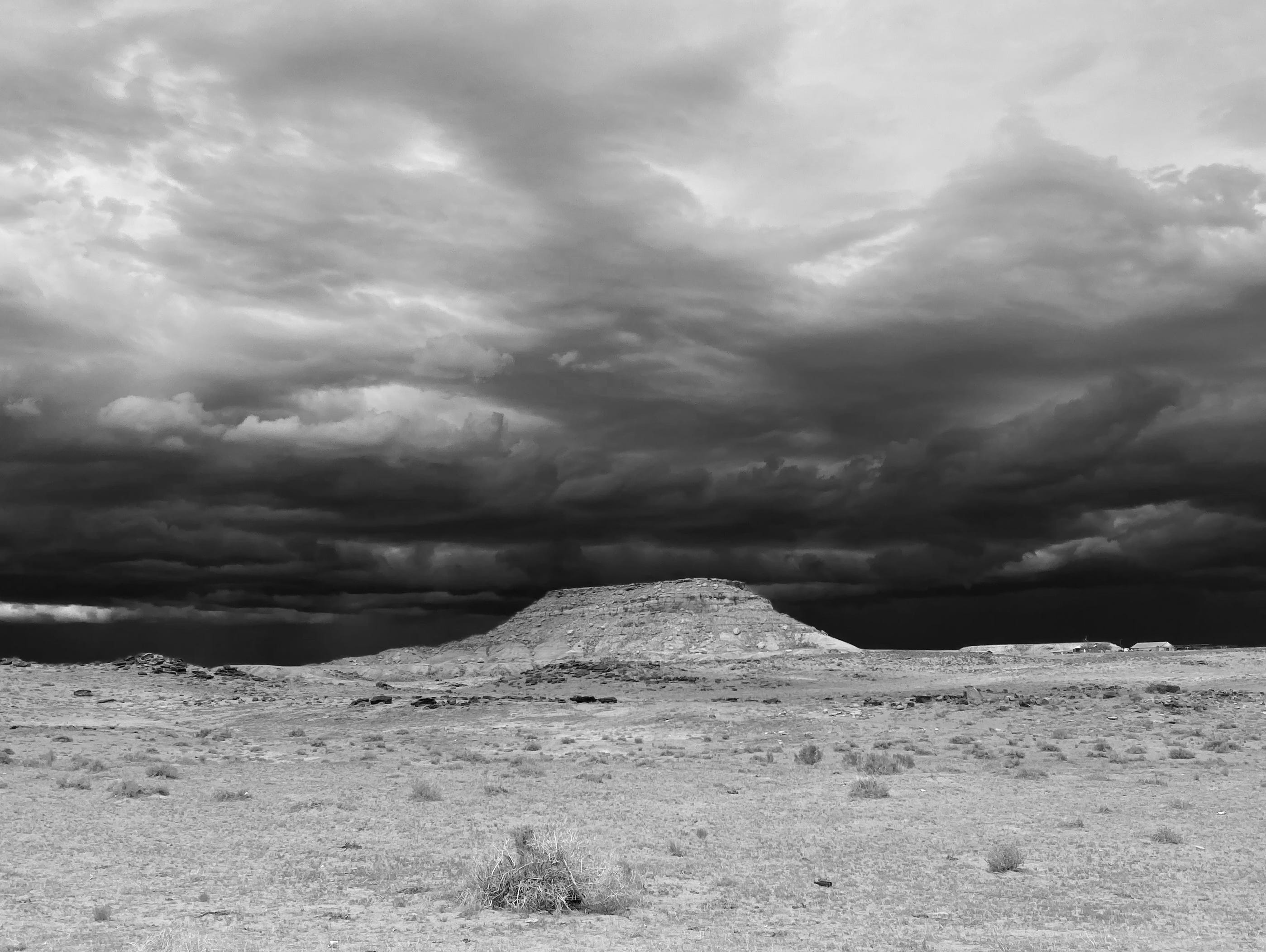
Dog Days Quote
Priam saw him first, with his old man’s eyes,
A single point of light on Troy’s dusty plain.
Sirius rises late in the dark, liquid sky
On summer nights, star of stars,
Orion’s Dog they call it, brightest
Of all, but an evil portent, bringing heat
And fevers to suffering humanity.
Achilles’ bronze gleamed like this as he ran.
— Homer’s Iliad
Thanks for an excellent post! I greatly appreciated your historical survey. It should remind everyone of the important battles that conservationists have previous fought to prevent destruction of some of the most beautiful places in the US. Your essay also makes it clear that the battles to save these places never ends!