Mining Monitor: Arizona projects advance
⛏️ Mining Monitor ⛏️
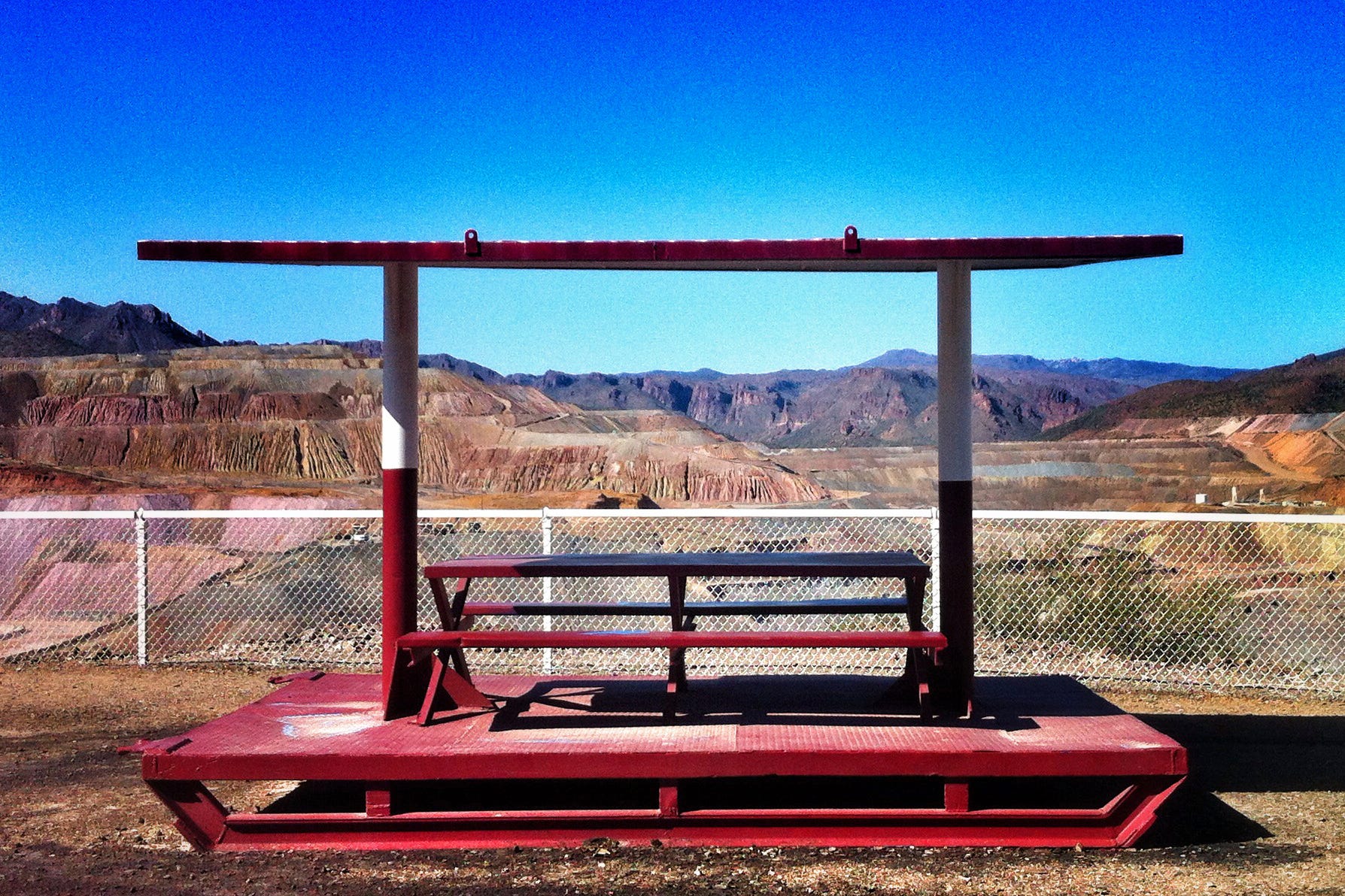
While the Four Corners Country uranium mining “renaissance” advances in starts and fits and hyped up press releases, copper and critical mineral extraction in southern Arizona moves forward in more substantial ways.
Last week, the U.S. Forest Service published the final environmental impact statement for South32’s proposal to re-open and expand the Hermosa Mine in southern Arizona to extract battery materials such as manganese and zinc, along with silver and lead. This opened the 45-day objection period.
The mine is on patented claims (private land), but would be expanded onto unpatented claims (public land) in the Coronado National Forest in southern Arizona’s Patagonia Mountains, an area long inhabited by the Sobaipuri O’odham and Hohokam people. The mountains occupy the nexus of several different biological provinces and are home to hundreds of species of birds, bees, bats, and butterflies, as well as the unique Madrean Pine-Oak Woodlands.
The proposed action, an underground mine, would play out on about 442 surface acres and would restrict access to about 578 acres of public lands. Mining would be done by the long-hole open stope method.
Area residents and advocates worry this sort of industrialization will harm the delicate and unique ecosystem and the diverse array of wildlife that depends on it. As is often the case with underground hardrock mining, a primary concern is for its effects on water quality and quantity.
Under South32’s proposed action, it would pump about 2,790 acre-feet of groundwater per year to dewater the mine, which would draw down the aquifer and water levels of area wells. Some of this water would be used for other mining purposes, some would be discharged into area streams, and some would be discharged into rapid infill basins in order to slow the aquifer’s drawdown.
Acid mine drainage is expected to occur in the sulfide ore body, which, if not treated properly, could contaminate groundwater or streams in the arid region.
For more info and to object, go here: https://www.fs.usda.gov/r03/coronado/projects/65668
Canada-based Faraday Copper has signed a letter of intent to acquire the shuttered San Manuel copper mine in southern Arizona from BHP Group Limited. The San Manuel mine, just outside Mammoth, Arizona, was once the nation’s largest underground copper mine and a significant producer up to its closure in 1999.
Faraday hopes to reopen the mine and associated infrastructure and pair it up with its proposed Copper Creek venture nearby.
The proposed Copper Creek mine covers about 78 square kilometers in the Galiuro Mountains about 9 miles east of Mammoth. Last June, the Bureau of Land Management approved Faraday’s plan to construct 67 drill pads, along with associated roads and infrastructure.
The development has sparked pushback from residents, advocates, and tribal nations, who worry about the drilling’s potential impacts to water quantity and quality in the Lower San Pedro River, which flows nearby, not to mention the prospect of a giant open pit mine in the biodiverse mountain range. The proposed mine site is also near the Aravaipa Wilderness Area, a stunning canyon and desert riparian zone.
***
Mining company press releases tend to be vapid pronouncements about purportedly successful prospecting efforts. But every once in a while, they say something interesting. Such was the case with a bulletin sent out with this header:
American Atomics Bets $18 Million on Utah Uranium: Will It Break Free from Colorado’s Regulatory Grip and Capitalize on the Nuclear Surge?
What the heck is this about? American Atomics, née Great Northern Energy Metals, is looking to acquire an 80% interest in 217 mining claims in the Lisbon Valley in Utah. In the process, they are apparently abandoning a project near Slick Rock, in San Miguel County, Colorado, because the county recently implemented new mining regulations.
Previously, the company had focused on expanding in Colorado, but new regulatory proposals in San Miguel County threatened to invalidate half of its claims, forcing a change in direction. The Utah acquisition, while offering new opportunities, also requires considerable time and capital before any returns can be realized, making it appear more like a defensive move than a proactive strategy.
I knew that San Miguel County was working on mining regulations — which were adopted this January — but I’m honestly a bit surprised that they chased this company away from a viable project. Which could indicate that the project wasn’t actually all that viable in the first place.
American Atomics would acquire the Lisbon Valley claims from Big Indian Prospecting LLC, which is run by none other than Mark Steen, the son of Moab’s uranium king Charles Steen.
Lisbon Valley Blues
My first impulse upon seeing the faded and tattered windsocks as I motored along a southeastern Utah backroad in early November was to look for the landing strip. There was none. Then I saw the distinctive infrastructure of an oil and gas well surrounded by WARNING POISON GAS KEEP OUT s…
🐟 Colorado River Chronicles 💧
The incredible shrinking Lake Powell is having a tough time of it lately. First, it’s growing smaller and smaller, thanks to acidification and folks pulling more water out of the Colorado River than it carries, which is causing some boat launch ramps to be unusable. As the reservoir subsides, it leaves big sand and mudflats behind, which leads to nasty quicksand that can suck in unsuspecting beachgoers. The National Park Service is warning visitors about those two hazards, and now there’s a new one: harmful algal blooms containing cyanotoxins have been detected at dangerously high concentrations in parts of the reservoir. The NPS recommends avoiding water that has algal blooms.
☘️ Annals of Alfalfa 🍀
For those of you interested in the alfalfa, irrigation, and Colorado River issues, I recommend going back and checking out the comment thread on Tuesday’s “Alfalfa Fallacy” dispatch. At last count there were 26 comments, all of which add context and insight to this tangled issue.
Anyone can read the comments, but only paid subscribers can contribute to the comment section and become part of this smart community. So sign up now!
🌵 Public Lands 🌲
There’s a lot of press on Sen. Mike Lee’s and Rep. Celeste Maloy’s attempts to use the Congressional Review Act to axe Grand Staircase Escalante’s management plan. There’s a good reason for all of the attention: It’s another bid by the senator to diminish public lands protections, which seems to be his primary mission and the consequences could be far-reaching.
That said, it seems that a lot of the coverage is slightly overblown, and maybe gives the wrong idea of what, exactly, this might mean for the national monument if it is successful. So I’m going to try to offer some clarity here. I’m not doing this to criticize these media outlets — which I do respect — but hopefully to explain what a national monument designation does and the role its management plan plays.
Inside Climate News headlined their story on the move like this:
A Little-Used Maneuver Could Mean More Drilling and Mining in Southern Utah’s Redrock Country
More Than Just Parks wrote this:
The monument would still exist on paper. But the framework governing what happens on 1.87 million acres of southern Utah canyon country would be gone. Camping, grazing, road access, mineral extraction, cultural site protections. All of it. And BLM would be legally prohibited from replacing it with anything substantially similar.
A monument without a management plan is a legal shell. A name on a map with no rules governing what happens on the ground.
Okay, this move could mean a lot of things somewhere down the road, including perhaps more mining and drilling somewhere, and it would set a scary precedent. But eliminating the management plan for the national monument will not by itself lead to more drilling and mining within the national monument. That’s because even without a management plan, a national monument does have meaning and certain restrictions that are inherent in its national monument-ness. It is not, as MTJPs puts it, merely a “legal shell.”
When a president designates a national monument under the authority of the Antiquities Act, they typically withdraw all federal land within the boundaries from new mining claims and energy leases. When re-establishing GSENM after it had been shrunken by Trump, President Biden proclaimed that the land would be withdrawn “from all forms of entry, location, selection, sale, or other disposition under the public land laws, from location, entry, and patent under the mining laws, and from disposition under all laws relating to mineral and geothermal leasing.”
Existing, valid leases and claims are grandfathered in, but in the case of GSENM, the feds bought out the only existing lease — for a coal mine on the Kaiparowitz Plateau — shortly after the original designation in 1996.
The proclamation designating the national monument also contains other, overarching guidelines. For example, when Biden restored GSENM and Bears Ears in 2021, he added this to the proclamations:
“The Secretary shall … ensure the protection of sacred sites and cultural properties and sites in the monument and provide access to Tribal members for traditional cultural, spiritual, and customary uses … including collection of medicines, berries and other vegetation, forest products … .”
And he added this:
“Should grazing permits or leases be voluntarily relinquished by existing holders, the Secretary shall retire from livestock grazing the lands covered by such permits or leases … Forage shall not be reallocated for livestock grazing purposes.”
These things are baked into the national monument from the beginning, and stand apart from any management plan. They can’t be altered without revoking the proclamation or replacing it with another one.
The management plan then zooms in and develops a more detailed regulatory framework, such as which areas of the monument might be off limits to grazing, or if and where recreational target shooting is allowed, or which roads are designated for motorized use. While they are usually more restrictive than the pre-monument resource management plans, this isn’t always the case. And they typically don’t address oil and gas drilling or mining because those uses are prohibited by the national monument’s proclamation.
Lee and Maloy are looking to revoke the management plan, not the national monument itself (although I’m sure they’d like that, too). If they succeed, they will not clear the way for drilling or mining within the monument’s boundaries. Nor will it create some kind of anarchic free-for-all in the canyons of southern Utah.
Most likely the monument would revert back to the previous management plan, which was developed under Trump I for a significantly diminished national monument. This is problematic because that plan was more lax, sought to reinstate suspended grazing leases, and allowed extractive uses in the removed parts of the monument. If nothing else, it will cause confusion and leave some parts of the national monument in regulatory limbo.
However, all of the land will still be overseen by the BLM, and would still be subject to federal environmental and historic preservation laws. Camping, grazing, and road access rules and cultural site protections wouldn’t just vanish. And, of course, new mining claims and energy leases would continue to be banned within the monument, because those withdrawals supersede the management plan.
That said, the prospect of eliminating this management plan is alarming. The agencies spent years developing it in consultation with tribal nations, they incorporated oodles of public comments and concerns, and ended up with a solid, compromise blueprint for overseeing a vast and varied and spectacular landscape. Lee would just be tossing all of that effort and all of the resources that went into making it into the trash, while sowing confusion for both the national monument managers and its many visitors. And all for what?
I’m guessing Lee’s just trying to score points with his base. But also, it seems that his long-term agenda is to force public land management into a state of utter dysfunction in hopes of gaining support for his mission to turn over public lands to private hands.
The Meaning of Monuments
When President Barack Obama established Bears Ears National Monument just over four years ago, conservationists and tribal leaders were …
***
On a related note, one reader asked how the Congressional Review Act could be applied to a management plan that was finalized over a year ago. After all, the CRA is intended to be used on new rules, and has a set time limit. Great question! For an answer, I consulted an explainer by Sarah Hart-Curran of the Harvard Law School’s Environmental & Energy Law Program.
Hart-Curran writes: “For 60 legislative days after Congress receives a rule, Congress can use ‘fast track’ procedures to issue a joint resolution of disapproval, meaning Congress needs only a simple majority in the Senate to veto the rule.”
Obviously, it has been more than 60 days since the plan was finalized. So what gives? Well, like all such plans, this one was not submitted to Congress, simply because these plans have not been considered “rules” in the past. So really, they shouldn’t be subject to the CRA at all, time limit or no. Hart-Curran explains:
“If an agency does not submit a rule that Congress thinks should be subject to CRA review, congressional practice is to request an opinion from the GAO. If the GAO finds the action is subject to the CRA, the GAO opinion serves as submission of a rule, beginning the 60-legislative-day clock.”
Yeah, so Lee and Maloy submitted this to the GAO, the GAO said it was a rule, and so the 60-day clock is now ticking.
📸 Parting Shot 🎞️


