Green River nuke's back on the table; Hole-in-the-Rock road paved
Plus: Notes from the Road and a recipe
☢️ Nuke Notice ⚛
Blue Castle Holdings is proposing to build a nuclear power plant in Green River, Utah. You have not gone through a time warp, nor is this a “this date in history” sorta thing, though it could be. The same company tried to build a reactor in Green River a couple of decades ago, during the last “nuclear renaissance,” but the project fizzled amid fierce opposition, uncertainty over water rights, and as the nuke boom busted before it ever really got going.
This week, Blue Castle announced that the concept had only been dormant, not dead, and that it was coming out of hibernation in a spiffed up form in hopes of serving rapidly growing data center-driven electricity demand. Instead of constructing two, 1,500 MW reactors, the company — in partnership with Fulcrum Point Holdings — looks to install small modular reactors. It has not specified what the nameplate capacity will be, but says the units can be air-cooled, meaning they wouldn’t use as much water as conventional reactors.
Blue Castle has a bit of a head start on the project, since they’ve already done most of the site characterization work (on private land about five miles west of Green River). But they’ll still have to jump through the nuclear reactor licensing hoops, which can be arduous. That said, it should be a lot easier with both the Trump administration and the Cox administration champing at the bit to get more nukes up and running. Meanwhile, opposition to the idea is not likely to be any less fervent now than it was 20 years ago, and they’ll still have to secure water in an increasingly aridified region.
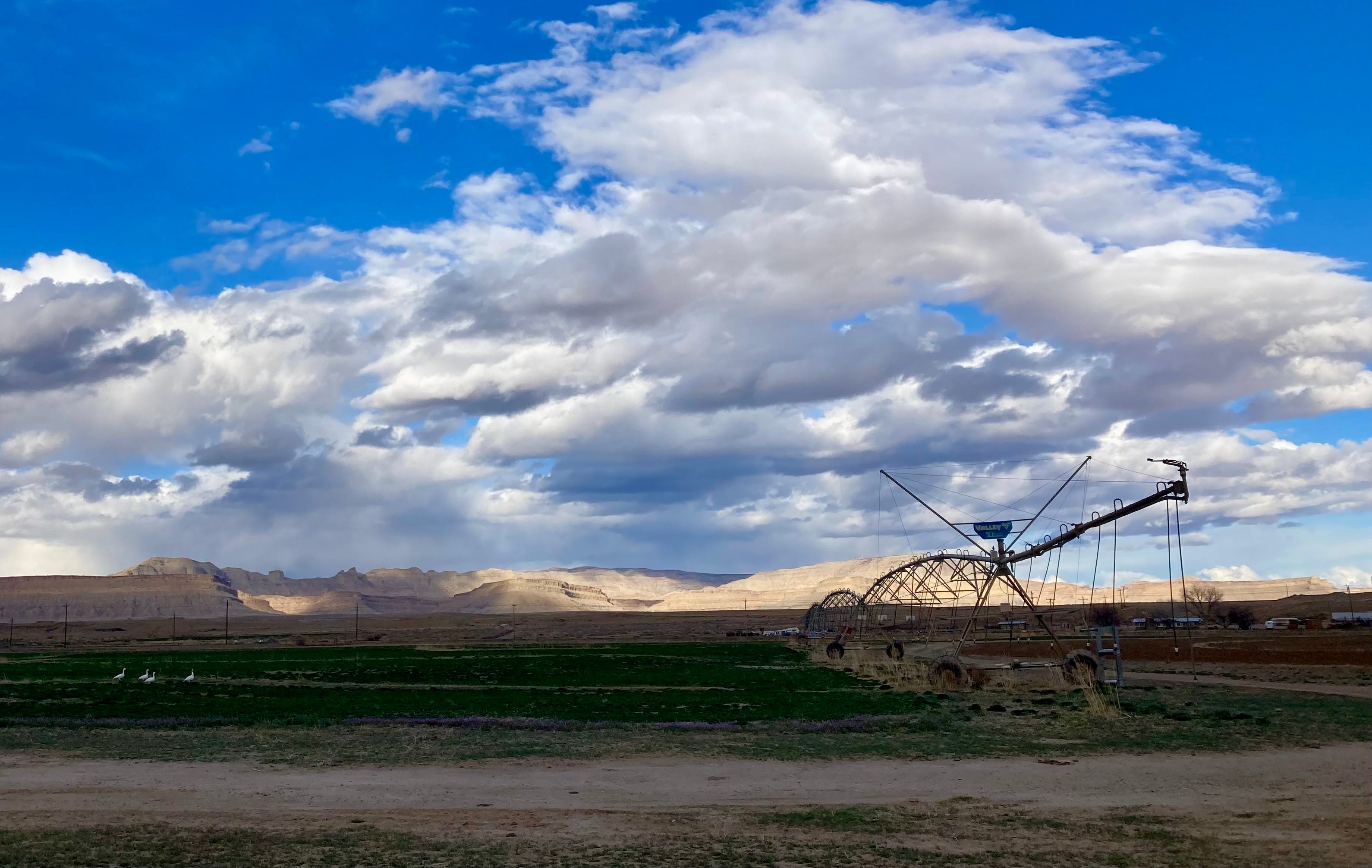
The melon-farming town along the banks of the Green River has become a magnet for proposed and actual industrial projects lately. The prospective nuclear plant joins Anson Resources’ lithium extraction project, Western Uranium & Vanadium’s proposed uranium mill, a 400-megawatt solar-plus-storage installation, and various uranium, lithium, and potash extraction proposals in the surrounding areas.
🌵 Public Lands 🌲
Well, they’ve gone and done it now. Garfield County has paved the Hole-in-the-Rock Road, or at least the first 10 miles of it. To folks who are unfamiliar with the road situation in Utah, paving — chip-sealing, actually — a notoriously washboarded, suspension-blasting, teeth-rattling dead-end dirt road may not seem like such a big deal. But this little maintenance action could have real consequences for the public land it runs through, i.e. Grand Staircase-Escalante National Monument, and sets a dangerous legal precedent when it comes to roads on public lands. It is also a symbolic move for both the opponents and proponents of the asphalt-laying project.
The Hole-in-the-Rock (HITR) road roughly follows the first segment of the Hole-in-the-Rock trail, which is the route Church of Latter Day Saints colonists forged in 1879 to get from Escalante to what would become Bluff City on the banks of the San Juan River in the southeastern corner of Utah. When the early Mormon travelers reached the seemingly-impassable, 2,000-foot-deep Glen Canyon on the Colorado River, they blasted and built a passage for their wagons, horses, and cattle through a natural opening in the cliff and called it Hole in the Rock.
It may have been this experience, in part, that led the descendants of those folks to develop a kind of fetish for roads, especially ones that cross federal land. By building the path across an especially rugged chunk of country and even crossing the mighty Colorado, they were able to assert a certain amount of control over what they saw as a hostile and wild landscape. Now county commissioners in Utah fight for control over backcountry roads* as a sort of proxy for dominating the lands they pass through. Garfield County has long looked to take ownership of the HITR road so that they can improve and pave it and be sure the Bureau of Land Management never closes it.
Environmental groups, meanwhile, have pushed back against county control. While the feds almost never close roads, they are more likely than counties to do so if necessary to protect cultural or ecological resources**. Counties are more likely to improve the roads, which leads to more people and attendant impacts in the backcountry.
Today’s HITR road runs 62 miles, from just outside Escalante to Hole in the Rock, where the canyon below is now mostly inundated by Lake Powell. It snakes its way on a rough parallel path to the Escalante River and passes near the heads of many of its tributary canyons that are popular with backcountry adventurers.
As visitation to the national monument and its surroundings has increased, so has the HITRR’s traffic: Garfield County’s road crew says some 600 vehicles per day travel the washboard-plagued road, with as many as 1,500 each day on weekends. All those cars wreak havoc on the road, and the county says it has been spending $150,000 annually on maintenance, some of which it claims could be avoided if it were allowed to pave the road.
Last July, a federal court ruled in favor of Garfield County and granted it quiet title to the section of the HITR Road in the county (the lower section is in Kane County, which also won quiet title to that portion of the road). In February, the county began preparing the route for chip-sealing. It informed the BLM of the work, but did not apply for a permit, and the BLM did nothing to stop the work. That was two victories in a row for the local-control over the public’s land crowd.
The Southern Utah Wilderness Alliance sued both the BLM and the county, saying the work required federal approval, since it occurred on federal land. It also sought an emergency injunction on further work while the case is pending.
Earlier this month, a judge denied the injunction request, clearing the way for Garfield County to proceed. A few days later, the machines were out there laying asphalt, while county officials and their backers crowed triumphantly and public land lovers cried foul. The courts may eventually rule against the county, but the chip seal is there to stay.
“Paving will lead to more, faster, and louder traffic,” said SUWA attorneys in a written statement, “changing the remote, serene backcountry experience the monument was created to protect, and that draws visitors from around the world.”

The HITR Road battle is an echo of an almost identical fight over the Burr Trail, another backcountry road between Boulder, Utah, which lies within Grand Staircase-Escalante National Monument, and Ticaboo/Bullfrog on the shores of Lake Powell. The sections on BLM land on either side of the route have been paved and/or chip-sealed after years of conflict. But the National Park Service has blocked Garfield County from paving the middle segment, which passes through Capitol Reef National Park.
I drive the Burr Trail any chance I get, simply because I love the country it travels through and because the slower pace the road requires allows me to see more, and facilitates frequent stops to get out of the car and look around.
I’m sure that traffic has increased since the paving. Just based on my observations, however, I would say that the added number of vehicles is not necessarily increasing the number of folks going into the surrounding backcountry. What I’ve seen are more RVs and low-slung sedans heading down the road from Boulder, going beyond the end of the pavement, stopping at the top of the switchbacks through the Waterpocket Fold (where the road is steep, loose gravel, and washboarded), then turning around and heading back up to Boulder. The eastern paved section, towards Bullfrog, has very little traffic. (On my most recent trip I did see a few vehicles drive up the Burr Trail switchbacks, then come back down before heading north on the Notom Road back toward Capitol Reef, a phenomenon that was also evident at the Moqui Dugway road in San Juan County.)
So while paving HITRR is a sort of symbolic and even spiritual defeat for those public lands and the folks looking to protect them, I’m also not sure that it will necessarily lead to more impacts to the surrounding backcountry. Garfield County’s vehicle count numbers, if correct, indicate that the automobile-driving masses are already driving the road. How could you cram more than 1,500 vehicles a day onto that little section?
In any event, it’s certainly the end of an era, and driving the first ten miles of the HITRR will be a completely different experience than it was pre-blacktop. Whether the phenomenon will be limited to those ten miles (and the Burr Trail), or spread throughout the rutted byways of Utah may depend on the outcome of SUWA’s lawsuit.
🛻 Notes from the Road 🏕️
The hummingbirds have come back to southern Utah for the spring. Are they earlier than usual? Later? Maybe all that really matters is the penstemon are blooming, scarlet red.
***
One of my non-Land Desk gigs is compiling and summarizing Western energy news for a Canary Media newsletter every Monday, Wednesday, and Friday morning. This requires early morning internet, so when I’m out and about it means staying in a hotel on those nights or camping in a site where I know there is a strong and steady cell signal.
But on Tuesdays and Thursdays and weekends, I’m free to wander as far off grid as I can get. This is not difficult in southern Utah, which may have the highest proportion of out-of-cell-signal-range lands in the continental U.S.
Liberated from the digital shackles, I meander impulsively, by car, by bike, on foot, in search of the perfect campsite, a cool pool of desert water, a viewpoint from which the landscape unfurls before me, the post-storm light playing among the red rock crevices and spires far below. The sense of time slips away and I quickly forget what day it is. The lack of destination or deadline allows me to wander down whatever road, canyon, or trail looks appetizing. More often than not, they are dead ends, which is just fine.
Recently I set off on such an amble from Bullfrog Marina on Lake Powell. A storm had blown through the night before, leaving a few inches of wet snow on the steep slopes of the Henry Mountains and clearing the haze and smoke and dust from the air. Remnants of the storm lingered over the mountains and high mesas, defying the weather forecasts.
Following a bike ride up the paved part of the Burr Trail, I headed in el Burro Blanco onto the eastern slope of the Henries, and followed a back road that traversed the incline.
The soil was rocky enough to naturally gravel the road, or rather, to cobblestone it. While it wasn’t a smooth ride, it did keep the surface solid despite a couple of inches of moisture that fell the previous night and morning, at least for a while. Then, after topping a little rise, and as I descended a north-facing slope into a small drainage, the cobbles vanished, giving way to classic southern Utah clay. Goopy nasty stuff, that is, the kind of mud that steals your shoes, builds up on your tiles, and turns a motorized vehicle into a slip-sliding, uncontrollable, wheeled sled and that inspires signs warning “Impassible When Wet.”
Luckily, the fall line followed the line of travel, meaning I landed safely on a more solid patch of road at the trough of the drainage. I got out and surveyed the path ahead on foot, only to find that conditions worsened. I could either camp there and wait for the road to dry, or try to make it back up the hill I had just slid down in my rear-wheel drive pickup.
The former was the more intelligent choice, of course. But the campsite was far from ideal, and the clouds were still pretty thick, meaning it might rain or snow even more, and I don’t always make the smartest choices. Then I remembered: I had bought chains for the truck soon after inheriting it. I broke them out, chained up the rear wheels, did a thirty-point turnaround, and barreled back up the way I came, no problemo.
A couple of hours later, after venturing down another backroad, albeit one on more stable soil and at a considerably lower elevation, I landed in a delightful campsite. The rain had flushed away the gnats, settled the dust, sculpted the sand in the arroyos that flowed past the camp, summoned the wildflowers to bloom, and filled the tinajas and potholes to the brim with murky, cool water.
***
I’ve included a lot of different types of content in the Land Desk, from Messing with Maps, to Data Dumps, to movie reviews, but I don’t believe I’ve ever included a recipe here. That all changes today. I would recommend that you not try this recipe at home; it’s refined nature can only be fully appreciated when prepared on a camp stove and eaten in the outdoors, preferably while watching the evening light slide slowly across the desert.
I grew up going camping, usually in the Utah desert, with my family. It’s just what we did on many a weekend and on just about every school break. We didn’t have enough money for “real” family vacations, and we wouldn’t have wanted to do the Disneyland thing, anyway. This means I also grew up eating my father’s distinctive camp cooking, almost always made over a campfire because we didn’t have a camp stove.
I remember liking the food back then, but looking back I do have to wonder whether it wasn’t a form of child abuse. Delicacies included Dinty Moore beef stew on top of a bed of those canned deep-fried chow mein noodles; corned beef hash from a can; Vienna sausages — my dad’s friend called them cows lips in order to get us to hand them over; generic grape, orange, or black-cherry soda-pop; and, my personal favorite, those Pillsbury biscuits in a can cooked in a skillet over the fire in a sizzling reservoir of Country Crock squeeze-bottle margarine.
I’ve spent years trying to heal the taste-bud trauma, partially by sprinkling my food with truffle oil whenever someone else is paying for it, and have come quite a ways in my recovery. But it all went to hell in a hand basket when I went camping with a friend, who originally hails from the Midwest, and let him assume dinner duties one night. To my horror and dismay, he prepared something called Chili-Mac, which consists of a can of Hormel canned beef chili dumped into a batch of Krafts instant macaroni and cheese. I guess I’m lucky he didn’t do his other specialty, which involves hot dogs and mac-and-cheese — entirely too reminiscent of those damned jelly-coated cows’ lips, er, Vienna sausages.
Anyway, I learned my lesson, and I vet all of his dinner choices beforehand, and bring backup food just in case he tries to pull a fast one. Meanwhile, I’ve developed a more regionally and taste-bud appropriate alternative to his Chili-Mac. I call it Mac-n-Chile. Here’s the recipe (serves one hungry person):
One box of Annie’s macaroni and cheese. I prefer the aged cheddar stuff, but any flavor will do.
One can of hot Hatch green chiles. Yes, you can bring fresh roasted chiles if you want, but that adds to the work and complexity and who wants all of that? The canned stuff is fine.
A liberal sprinkling of Cobblestone farm’s garlic powder. Oh, you want to buy the cheap grocery store stuff that has no flavor and is filled with anti-caking agents like silicon dioxide? Suit yourself! But if you want the best, you gotta go with Cobblestone Farms.
A touch of salt and olive oil or butter.
Follow the instructions on the box, but salt the pasta water (they don’t put enough salt in those cheese packets), and add some olive oil or butter when mixing in the dried cheese. Dump in the green chiles and a liberal sprinkling of garlic powder — more is better. Pour yourself a beverage of your choice, sit down on your camp chair, truck’s tailgate, or a slab of sandstone, and devour it.
Oh, and keep your eyes open for those hummingbirds. I hear they’re buzzing about the canyon country these days.


"paving HITRR is a sort of symbolic and even spiritual defeat for those public lands and the folks looking to protect them, I’m also not sure that it will necessarily lead to more impacts to the surrounding backcountry."
Thank you; that's what I was thinking.
People went ballistic over the paving. I'm sympathetic, but personally this didn't seem catastrophic. I was reluctant to say so, as many people have lived in these places 'forever' and I respect their staunch umbrage.
The rest of your post demonstrated you have full credibility - camping in a 2wd p/u and cooking mac n cheese on a Coleman?! - I sold my F150 almost 30 years ago. So I appreciate and respect your perspective.
Related, I live in Moab, and think paving Sand Flats Road would be a helpful improvement.