A Colorado River glossary and primer
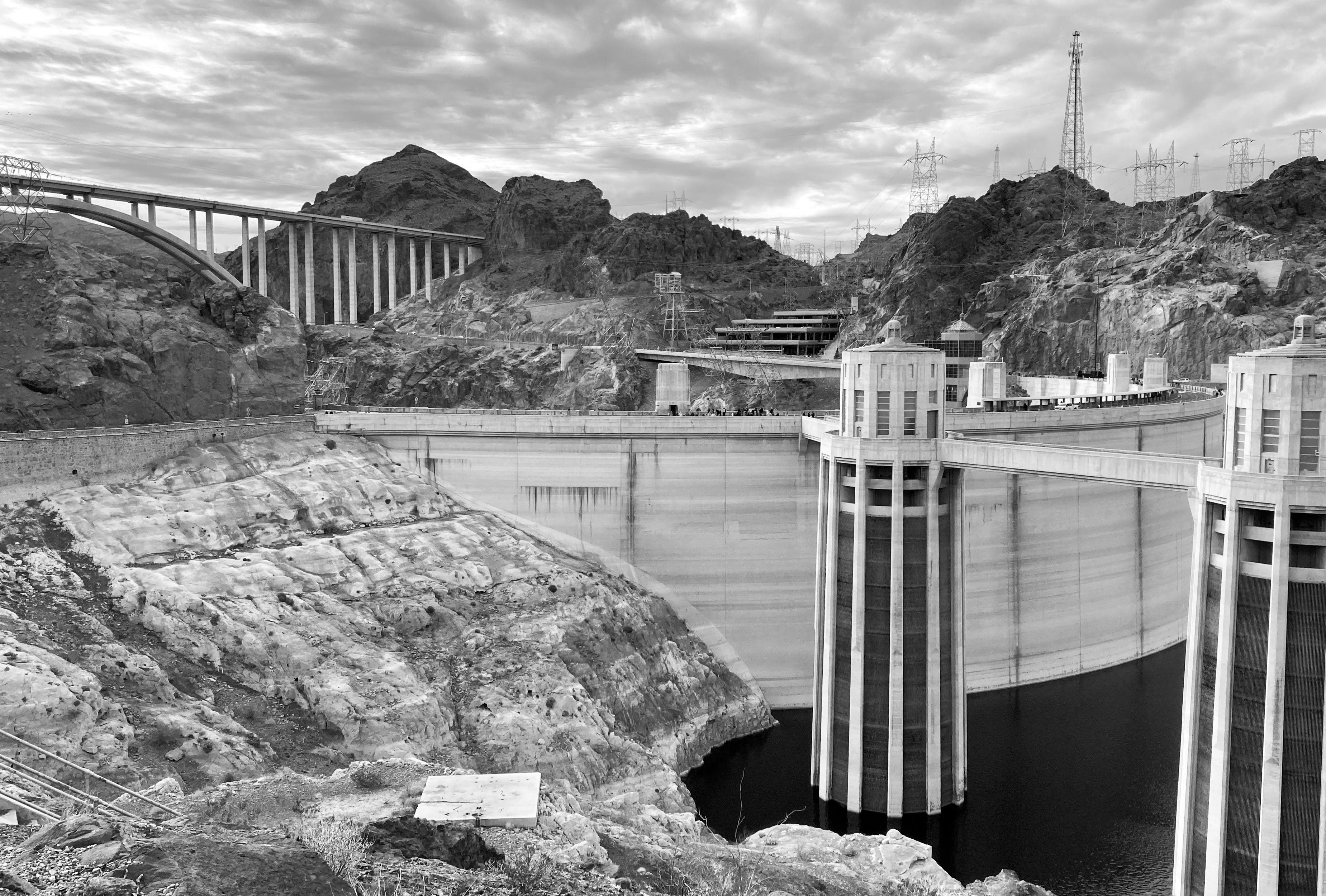
After last week’s somewhat wonky dispatch on the Colorado River, a couple of readers asked about some of the terminology used. That, along with the fact that the deadline for an agreement on how to operate the river’s plumbing is fast approaching, prompted me to put together a bit of a glossary/primer on the Colorado River to give a little more context to related news, which is likely to come fast and furious over the next several weeks.
If I miss anything, or if you have other questions, please let me know and I’ll try to answer them soon. Also, I’ll be doing a host of data-driven, Colorado River-related dispatches in coming weeks to go over some of last year’s statistics on water consumption, water pricing, alfalfa production and exports, and so forth.
Colorado River Basin: A 2,500 square-mile watershed that includes southwestern Wyoming, western Colorado, southern and eastern Utah, southern Nevada, western New Mexico, Arizona, and eastern California. For administrative purposes, it has been split into the Lower Basin (CA, AZ, NV) and the Upper Basin (CO, WY, UT, NM), with the dividing line at Lees Ferry.
Law of the River: This isn’t an actual law, but rather a collection of agreements, compacts, treaties, laws, and Supreme Court decisions that serve as a framework for governing the Colorado River.
Doctrine of Prior Appropriation, aka First In Time, First in Right: This is the basis for most Western water law, which says that the first entity to put a set amount of water on a stream to beneficial use at a specific place has the highest or most senior priority of water rights. If a senior rights holder is not receiving their full appropriation due to drought or overuse, they can make a “call” on the river, forcing upstream, junior rights holders to stop diverting water from the stream or its tributaries.
Acre-foot (AF): Amount of water that would cover one acre one foot deep. 1 acre-foot = 325,851 gallons. MAF = million acre-feet.
Consumptive Use: The amount of water diverted from a stream minus the amount returned to it. For example, last year Nevada pulled about 443,000 acre-feet of water from the Colorado River, mostly via pumping plants in Lake Mead. But it returned about 244,000 acre-feet of treated wastewater to the reservoir via Las Vegas Wash, leaving it with a total consumptive use of about 198,000 acre-feet for the year. Evaporation and transpiration (or uptake by and evaporation from plants) are considered consumptive uses. Agriculture is the largest consumptive user in both the Upper and Lower basins.
Colorado River Compact: In 1922, representatives from the seven Colorado River states entered into a compact aimed at ending interstate conflict and litigation to clear the way for developing dams and diversions on the river. The compact gives each basin exclusive beneficial consumptive use of 7.5 million acre-feet of water per year, but also mandates that the Upper Basin “not cause the flow of the river at Lee Ferry to be depleted below an aggregate of 75 million acre-feet” for any 10-year period. A 1944 treaty reserved an additional 1.5 million acre-feet to Mexico, which would be covered by surplus or borne equally by the two basins.

The Upper Basin divided its 7.5 MAF by percentage: 51.75% to Colorado; 11.25% to New Mexico; 23% to Utah; 14% to Wyoming (plus an additional 50,000 acre-feet for the portion of Arizona in the Upper Basin).
The Lower Basin allotted 4.4 MAF to California; 2.8 MAF to Arizona; .3 MAF to Nevada.
20 million acre-feet: Presumed total annual natural flow of the river upon which the compact was based and which was considered “more than sufficient to water all lands now being irrigated and all lands which can be economically developed for forty years to come.”
17.3 million acre-feet: The actual annual flow recorded by the he U.S. Geological Survey during the nine years leading up to the compact’s ratification, with yearly flows ranging from 9.9 million acre-feet to 26.1 million acre-feet. That was during an unusually wet period.
14.3 million acre-feet: Median annual natural flows at Lees Ferry from 1907 to 2025.
8.5 million acre-feet: Estimated natural flow at Lees Ferry in 2025.
2 million to 4 million acre-feet: Estimated amount of consumptive use that must be reduced to bring the Colorado River supply and demand into balance.
Natural Flow at Lees Ferry: This is a calculated estimate of the amount of water that would flow past Lees Ferry if there were no upstream dams, diversions, or human consumptive use. This estimate would guide the supply driven option for dividing up the river. The USBR describes the method for determining it as such:
Provisional Natural Flow at Lees Ferry = observed annual flow at Lees Ferry + average Upper Basin consumptive use for the last 5 published years +/- net change in mainstream storage +/- net change in off-mainstem storage +/- net change bank storage + mainstem reservoir evaporation.
Winters v. the United States: 1908 Supreme Court ruling establishing that when the federal government “reserved” land for a tribal nation, it also reserved rights to water. And the appropriation date for those water rights would be the date the reservation was established, whether or not the tribe put the water to “beneficial use” at that time. Winters did not quantify the amount of water tribes were entitled to, except that it should be “sufficient … for irrigation purposes.”
By rights, this would give the 30 tribal nations within the watershed the most senior rights to most if not all of the water in the Colorado River. Five lower Colorado River tribes currently have quantified and settled rights to about 900,000 acre-feet, while Upper Basin tribes have settled and quantified about 1.1 million acre-feet. But other tribes have yet to settle or quantify their rights, so they remain in a sort of limbo.
In many cases, the tribal nations lack the infrastructure for putting their water rights to use, meaning they end up relying on federal infrastructure — and on the respective appropriation dates for the infrastructure. An example: The Ute Mountain Ute tribe has 1868 water rights on the Dolores River in southwestern Colorado. But they actually receive their water via the Dolores Project, which only has 1968 rights — which are junior to most of the white farmers on the river. That means during very low water years, the tribe can lose most of its water.
Eugene C. LaRue: One of the early 20th century’s foremost authorities on the Colorado River, who warned the Colorado Compact signatories that their negotiations were based on overestimates of the river’s supply. In 1916, he wrote: “Evidently, the flow of the Colorado River and its tributaries is not sufficient to irrigate all the irrigable lands lying within the basin.” LaRue also warned against building Hoover Dam because evaporation would further deplete water supplies and suggested banning trans-basin diversions, or exporting water from the Colorado River watershed to other parts of the seven basin states. The signatories heard LaRue but clearly didn’t heed his warning, even though he repeated it many times prior to the compact’s signing. (He eventually resigned in protest.)
Minimum Power Pool: Surface elevation of Lake Powell or Lake Mead below which hydroelectric production is no longer possible because it is lower than the dam’s penstocks. This is especially critical at Lake Powell because if water can’t be released through the penstocks and turbines, it must go through lower river outlets, which are not equipped for long-term releases and could be damaged by constant use. Also, the electricity from the dam is critical to Southwestern power grids, and sales of it raise revenue for endangered native fish recovery programs.
Deadpool: Surface elevation of Lake Powell or Lake Mead below which no water can be released from the dam. So in Lake Powell, this means the water would drop below the river outlets, which could happen if the reservoir is drawn down to the river outlet level, and then reservoir seepage and evaporation exceeds inflows (which could happen late in a hot, dry summer).
Run of the River: This is the term for when releases from a dam are equal to reservoir inflows minus evaporation and seepage at any given time. In other words, if inflows were 20,000 cfs, releases would be slightly lower, and the dam wouldn’t hold any water back (or release any storage). Glen Canyon dam operators could use this method to keep Lake Powell from dropping below minimum power pool.
Transbasin Diversion: Moving water from one watershed to another, within the same state, e.g. from the Colorado River’s headwaters to the state’s populous Front Range, or from the Navajo River (a tributary of the San Juan, which is a tributary of the Colorado) to the Chama River (a tributary of the Rio Grande).
Central Arizona Project: The 366-mile canal and pumping system that delivers Colorado River water to the Phoenix and Tucson areas. The project’s water rights have a 1968 appropriation date, making them junior to California users such as the Imperial Irrigation District. That has meant that Arizona must reduce consumption prior to California.
Imperial Irrigation District: A major agricultural area in southern California and the Colorado River’s largest single water user.


